The French Alps: Annecy Lacustrine Valley & Chamonix Massif
Examining the transition from pre-alpine glacial waters to high-altitude granite spires in the northern French Alps of Haute-Savoie.
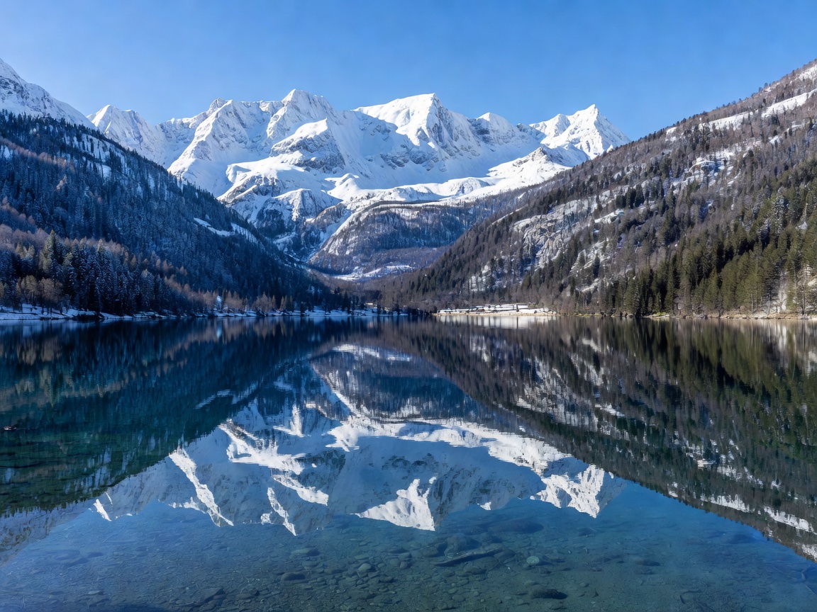
Geographic Overview: From Lake Basins to 4,800-Meter Pinnacles
The department of Haute-Savoie encompasses one of Europe's most dramatic altitudinal gradients. Within ninety minutes of travel, the pastoral shores of Lac d'Annecy (elevation 447 meters) yield to the glacial moraines and fractured seracs of the Mont Blanc massif, peaking at 4,808 meters. This environmental variance necessitates careful tactical planning regarding gear, weather windows, and acclimatization.
1. Annecy: The Venetian Canals of the Pre-Alps
Fed by subterranean mountain springs and strictly protected by municipal conservation ordinances since the 1950s, Lake Annecy ranks among Europe’s cleanest bodies of freshwater. At its northern mouth, the Thiou canal meanders through the Vieille Ville (Old Town), flanked by pastel arcade houses and the triangular twelfth-century Palais de l'Île fortress.
Above the town, the Château d'Annecy, former residence of the Counts of Geneva, offers perspectives over the lake’s limestone cirque, including the Tournette and Dents de Lanfon peaks. The dedicated 42-kilometer cycle greenway (Voie Verte) encirling the water body offers non-motorized circulation suitable for all skill levels.
Hydrological Purity & Activities
Because motorized boat speeds are rigorously restricted, Lake Annecy provides exceptional conditions for flatwater rowing, sailing, and open-water swimming at Plage des Marquisats and Plage d'Albigny from June through September.
2. Chamonix-Mont-Blanc: The Cradle of Mountaineering
Situated in a deep, glaciated trough bordered by the Aiguilles Rouges to the north and the Mont Blanc chain to the south, Chamonix is an international focal point for alpine sports. The town itself combines nineteenth-century grand palace hotels with modern expedition equipment houses.
Two primary engineering installations offer non-climbers access to the high alpine zone:
- Téléphérique de l'Aiguille du Midi: Rises from the valley floor (1,035 m) to a granite pinnacle at 3,842 meters in two vertical spans without intermediate support towers on the upper section. Provides views across French, Italian, and Swiss peaks.
- Chemin de Fer du Montenvers: A red cogwheel railway inaugurated in 1908 that climbs to 1,913 meters, overlooking the Mer de Glace glacier and the monumental granite monolith of the Drus.
Comparative Profile: Annecy vs. Chamonix
| Dimension | Annecy Basin | Chamonix Valley |
|---|---|---|
| Primary Elevation | 447 m (Lake level) | 1,035 m to 3,842 m |
| Landscape Archetype | Lacustrine basin, forested limestone bluffs | Glaciated U-valley, granite spires, permafrost |
| Transit Connections | TGV direct from Paris (approx. 3h 45m); TER from Lyon | Léman Express to Saint-Gervais, then Mont-Blanc Express |
| Core Physical Activities | Cycling, lake paddle, paragliding from Col de la Forclaz | Alpine trekking (Tour du Mont Blanc), mountaineering |
| Weather Sensitivity | Moderate; accessible through shoulder seasons | Extreme; cable cars halt during high winds or thunderstorms |
Pros and Cons of Alpine Exploration
Alpine Strengths
- Pristine air, crystalline alpine waters, and immense vertical topography.
- Superb mountain infrastructure including refuges, marked trails, and funiculars.
- Distinct Savoyard gastronomic tradition focused on artisan cheeses (Reblochon, Beaufort).
Alpine Complexities
- High-altitude sickness risk above 3,000 meters for unacclimatized visitors.
- Significant weather volatility with rapid temperature drops even in midsummer.
- Elevated operational costs for mechanical lifts and mountain gear rentals.
Preparation Guidelines for Mountain Visitors
When ascending to high elevations like the Aiguille du Midi, temperature differentials often exceed 20°C compared to the valley floor. Wear windproof, layered thermal clothing, polarized eye protection to shield against high-albedo snow glare, and sturdy footwear with vibram lugs. Always verify daily bulletin updates from the local PGHM (Peloton de Gendarmerie de Haute Montagne) before venturing onto unmarked trailheads.